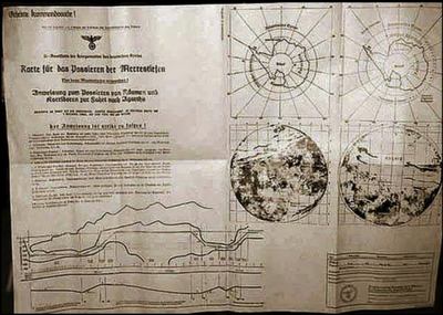
Third Reich Maps of the Inner Earth

We’ve all heard tales of Nazis exploring the southern extremities of the globe and even setting up bases in Neuschwabenland. Some have also heard of Operation Highjump and Admiral Byrd’s altercation with entrenched German forces that overpowered them with amazing flying craft. from http://www.hi-story.de/ A video (below) has recently surfaced which shows a 1944 map from the Third Reich detailing not only the direct passageway used by German U-boats to access this subterranean domain, but also a complete map of both hemispheres […] Read More
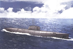
German U-Boat

Chapter 21 – German Submarines in the South Atlantic

The newspaper “France Soir” had the following account: “Almost 1-1/2 years AFTER cessation of hostilities in Europe, the Islandic [Icelandic?] Whaler, ‘Juliana‘ was stopped by a large German U-boat. The Juliana was in the ANTARCTIC region around Malvinas [now Falkland] Islands when a German submarine surfaced and raised the German official naval Flag of Mourning — red with a black edge. The submarine commander sent out a boarding party, which approached the Juliana in a rubber dinghy and having […] Read More